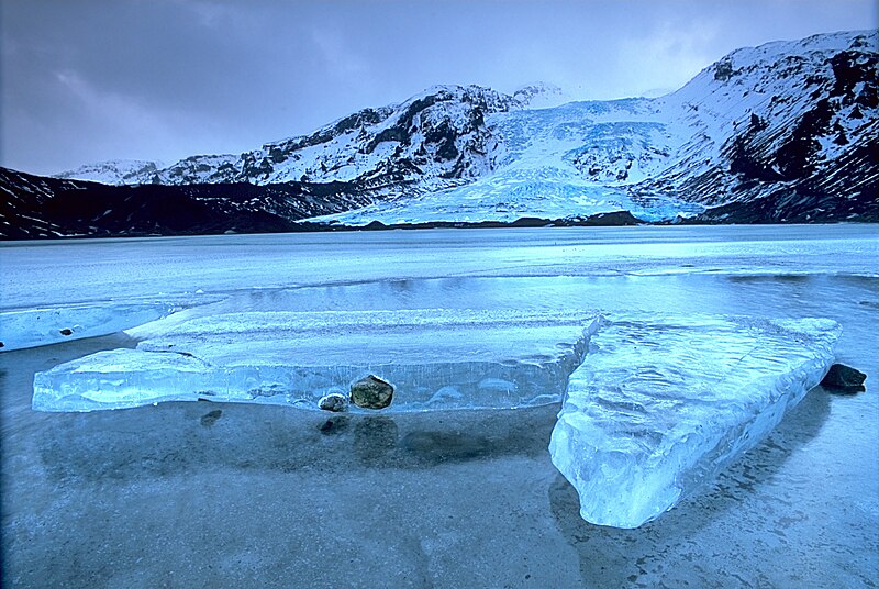
Abruozdielis:Eyjafjallajökull.jpeg

Parvaizos dėdloms: 800 × 536 pikselē. Kėtū dėdlomu: 320 × 214 pikselē | 640 × 429 pikselē | 1 024 × 686 pikselē | 1 280 × 858 pikselē | 2 960 × 1 983 pikselē.
Pradėnis abruozdielis ((2 960 × 1 983 taškū, faila dėdoms: 3,96 MiB, MIME tips: image/jpeg))
Abruozdielė istuorėjė
Paspauskėt ont deinas/čiesa, ka paveizietomėt abruozdieli, kāp ons ėšruodė pradiuo.
| Dėina/Čiesos | Pamažėnėms | Mierā | Nauduotuos | Paāškėnėms | |
|---|---|---|---|---|---|
| vielībs | 14:01, 2 groudė 2004 |  | 2 960 × 1 983 (3,96 MiB) | Ævar Arnfjörð Bjarmason |
Abruozdieliu nauduojėms
Abruozdielėp neruod anėjuoks poslapis.
Abruozdielė nauduojėms vėsor
Tėi viki poslapē nauduo šėton abruozdieli:
- Skvarmas nauduojėms af.wikipedia.org
- Skvarmas nauduojėms an.wikipedia.org
- Skvarmas nauduojėms arc.wikipedia.org
- Skvarmas nauduojėms ar.wikipedia.org
- Skvarmas nauduojėms arz.wikipedia.org
- Skvarmas nauduojėms azb.wikipedia.org
- Skvarmas nauduojėms az.wikipedia.org
- Skvarmas nauduojėms be.wikipedia.org
- Skvarmas nauduojėms bg.wikipedia.org
- Skvarmas nauduojėms bg.wikinews.org
- Skvarmas nauduojėms bo.wikipedia.org
- Skvarmas nauduojėms br.wikipedia.org
- Skvarmas nauduojėms bs.wikipedia.org
- Skvarmas nauduojėms ca.wikipedia.org
- Skvarmas nauduojėms co.wikipedia.org
- Skvarmas nauduojėms cs.wikipedia.org
- Skvarmas nauduojėms da.wikipedia.org
- Skvarmas nauduojėms de.wikipedia.org
- Eisscholle
- Benutzer:Rainbowfish/Test10
- Wikipedia:Kandidaten für exzellente Bilder/Archiv2005/7
- Wikipedia:Archiv/Hilfe:MediaWiki/Versionen
- Benutzer:Torinberl/Testterrain
- Benutzer:Torinberl/Benutzerseite
- Portal Diskussion:Island/Bild des Monats
- Benutzer Diskussion:Placebo111
- Portal Diskussion:Island/Bild des Monats/Archiv/2006
- Benutzer:Rainbowfish/Bilder
- Benutzer:Rainbowfish/ALT
- Portal Diskussion:Vulkane/Vulkanbild der Woche
- Skvarmas nauduojėms de.wiktionary.org
- Skvarmas nauduojėms dsb.wikipedia.org
- Skvarmas nauduojėms el.wikipedia.org
- Skvarmas nauduojėms en.wikipedia.org
Veizietė, kāp vėsor tasā abruozdielis nauduojams īr.

